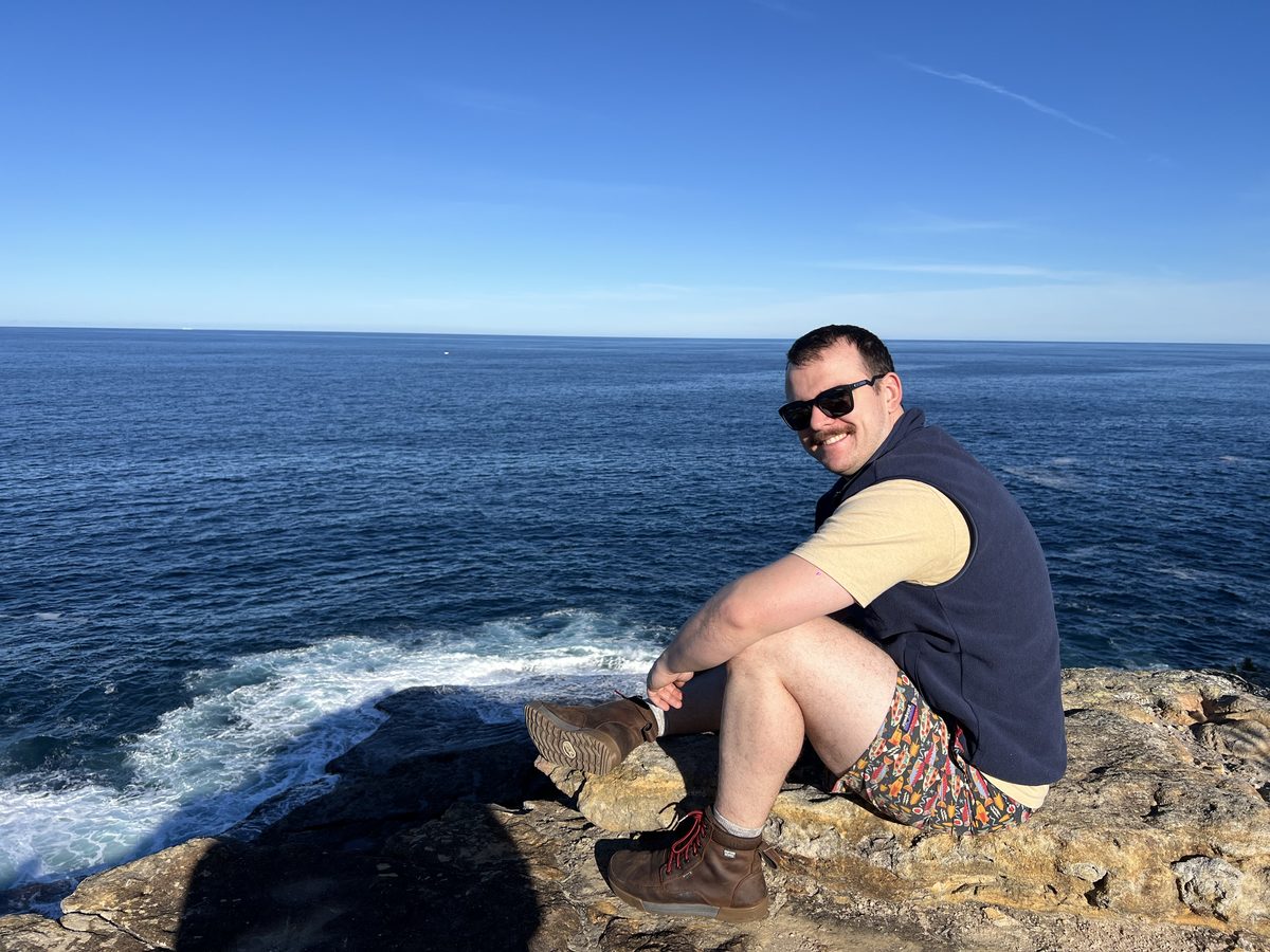
Your dive master
Josh · Sydney
I'm Josh, your dive master, based in Sydney and diving since I was 12. I'm fully cave trained (TDI) and decompression certified, with hundreds of logged dives from Thailand, to Mexico, to Ecuador. I'm excited to hand you a tool that lets you dive Cliftons.
Cave · TDIDecompression100s of divesThailand · Mexico · Ecuador
Site character
Sheltered inshore harbour "muck dive" — expect low-to-moderate visibility, silty bottom, netted swimming enclosure and jetty pilings near shore. Signature life: seahorses, decorator crabs, octopus, pipefish. Site sits close to boat traffic near the wharf — maintain a surface marker buoy on any open-water crossing.
–
Max depth (m)
2
Logged sessions
11
Known features
Entry / exit — choose your point
Dive plan — choose your route
On-site logistics
🅿Park at the Clifton Gardens Reserve car park (-33.83896, 151.25180).
⚑Kit up at the bench beside the path (-33.83932, 151.25225), then walk down to your chosen entry.
▼Enter & exit at the point you pick above — the jetty edge (fast to depth) or the beach (shallow wade-in). The map route and the nav-plan legs both follow your choice.
▸Descend gradually — the buoy area sits around 5–6 m and features fan out to ~15 m.
Hazards
▸Boat traffic near the wharf and mooring — deploy SMB before any open-water crossing.
▸Fishing line / netting around jetty pilings — carry a line cutter.
▸Low visibility common — brief buddy pairs on lost-contact procedure before entry.
▸Southern line down to the Admiralty anchor reaches ~15 m — the deepest and southernmost known feature, and the turn-around point on the full tour; confirm gas reserve before committing to that leg.
Base layer
Overlays
Depth contours
0 m481216
Lines every 2 m (coloured by depth)
Dots = dive soundings
Loading live conditions…
Known features
Photo log — Day 1 (color-corrected)
3D dive terrain
Depth surface modelled from the dive soundings, ×4 vertical exaggeration. Drag to orbit · scroll to zoom · two-finger drag to pan.━ Day 1 ━ Day 2 ● entry ● buoy
Loading 3D…